Story by Reese Anderson
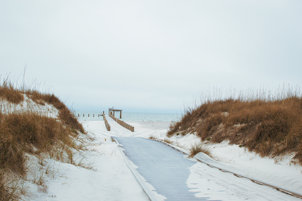
A chain of narrow islands just off the Mississippi Gulf Coast are perpetually battered by wind, waves and the Gulf of Mexico’s 10-mm-per-year rise in sea level — among the fastest rates of sea level rise in the world.
As the mainland coast’s first line of defense against hurricanes and other tropical activity, barrier islands are particularly vulnerable to the effects of climate change. Barrier islands are naturally at risk of erosion because they are composed of constantly shifting sediments.
“Barrier islands are fragile, they’re dynamic and they’ve been subject to a lot of man-made forces, the biggest of which occurring now is climate change, particularly sea level rise associated with climate change,” Robert Wiygul, who practices environmental and natural resources law in Ocean Springs, Miss., said. “That’s just the basic physical equation that when water gets warmer, it expands.”

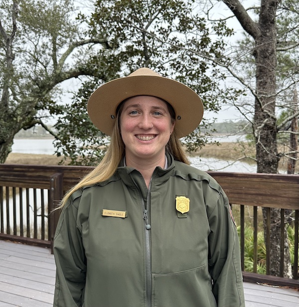
Barrier islands play a large role in protecting the coastline from hurricanes. Most importantly, they receive the brunt of a hurricane’s storm surge, retaining much of the water and sand brought on by the storms. Elizabeth Shadle, a biological technician for the Mississippi district of Gulf Shores Islands Seashore National Park, elaborated on this.
“Barrier islands provide coastal protection and reduce storm impacts. Hurricanes are going to hit that barrier island first. They can hold a lot of sand and sediment that can help limit the impacts when a storm first comes from the gulf and is going towards the coast,” Shadle said. “A lot of the barrier islands have marshes, which are able to hold more water in, so one impact is that (barrier islands) take the brunt of the storm. Through increased water levels, they can kind of retain the storm surge.”
The islands pay a price for offering this protection, most visibly on the Gulf Coast when 1969’s Hurricane Camille split Ship Island in half, carving a 2.4-mile breach known as the “Camille Cut.” Over time, natural sediment deposits brought the two halves within a quarter-mile of each other until Hurricane Katrina expanded the breach again to 3.5 miles in 2005.
Restoring the Islands
This prompted the National Park Service to begin the second-largest restoration project in its history. Completed in December 2020 in cooperation with the U.S. Army Corps of Engineers, the $300 million-project used dredged sediment to make Ship Island whole again.
According to Shadle, reconstructing Ship Island not only protected coastal communities from hurricane damage, but it also restored the habitats of endangered barrier island species.
“A lot of the (barrier island) animals are endangered, so we wanted to mitigate the reduction of their habitat,” Shadle said. “We also monitor our natural resources, including sea turtle monitoring and looking at nests. We monitor shorebirds, looking at different solitary nesters, as well as large colonial flocks.”
Habitat conservation is one of the foremost goals for coastal restoration projects in general. The Office of Coastal Resource Management, which operates under the Mississippi Department of Marine Resources, uses dredged sediments to rebuild eroded marshland along and within the Mississippi Gulf Coast.
“We do this in order to offset ongoing coastal losses of tidal marsh, which is a very valuable fish and wildlife habitat,” Deputy Director of the OCRM Jared Harris said. “That’s why we try to restore that marsh, because the marsh is what makes the Mississippi Sound so productive.”
Harris leads the Beneficial Use Program, which restores marshland with sediments dredged from the Mississippi Sound.
“Historically, dredged sediments have been viewed as a waste. So, for instance, if they’re going to dredge a shipping channel, they might just pump it out in open water, or they might take it and dump it off in deep water,” Harris said. “They also sometimes take it to a landfill, and it’s gone forever.”
Harris explained that repurposing dredged sediments creates new habitats for plant and animal life.
“When we create a restored marsh … it also keeps the sediment in the system. And the sediment flow in the system is a natural process,” Harris said. “We build it to the elevation where marsh grows, because ultimately what we’re trying to do is create valuable coastal habitat.”
The Beneficial Use Program is currently working on two barrier island restoration projects — one on Cat Island and one on Deer Island, both of which are largely owned by the state of Mississippi. While the Deer Island project has been greenlit and will commence in late 2024, the Cat Island project is larger and entails a more intensive permitting process.
“(The Cat Island restoration site) is a 660-acre site, compared to a 66-and-a-half-acre site at Deer Island. The funds for Deer Island were secured a while back,” Harris said. “It just takes a little while because you have to get the permit before you even worry about construction.”
Harris said that such projects are an ongoing battle against climate change and general erosion.
“We’re trying to restore marshlands, because even without hurricanes you lose them due to erosion anyway,” Harris said. “Are you going to see some erosion there as well over 15, 20 years? Probably. But it still provides an extra sort of resilience for the island because it’s protecting the island from those erosional losses.”
Tourism and Recreation
One of the benefits of restoring barrier islands, particularly along Mississippi’s coast, is maintaining them for tourism and recreational use.
Ship Island is the most heavily visited of the state’s barrier islands, attracting 42,000 people in summer 2023.
“That 42,000 number is just people brought out by the ferry,” John Bernstiel, supervisory park ranger for the National Park Service’s Resource Education Division in the Mississippi district, said. “People also go out on private boats, they rent boats, they charter boats, and it’s hard to capture those numbers.”
Part of Bernstiel’s job is ensuring that visitors to Ship Island and the William Colmer Visitor Center are aware of the risk they pose to coastal ecosystems.
“The best thing (visitors) can do is to pay attention to things like shorebird closures and stay away from those areas. They should stay in the areas that we set aside for public use, which are most of the islands,” Bernstiel said.
The service has mandated climate change messages for its programs, including those on Ship Island.
“I think most people are aware of (climate change), but it’s probably not at the top of their minds when they’re actually out there enjoying the barrier islands,” Bernstiel said. “They’re out there to recreate, and we hope we get a little bit of their time to educate them and turn them into stewards for the environment.”
Related Stories:
‘We’re Gonna to Hit the Wall’: Rising Sea Levels Threaten Mississippi Coast
